Explore the Breslau 2050 Plan
This interactive map is based directly on the Township of Woolwich's Official Plan land-use map for Breslau — the map that guides what gets built where as the community grows. I've made it easier to explore so residents can see the plan for themselves, turn individual land-use layers on and off, and better understand what is proposed for their community.
Every coloured area on this map reflects an official planning designation — commercial, residential, industrial, open space, and more — taken directly from the Township's Official Plan. The layer tool itself is something I built as part of this campaign to make that public information easier to explore: use the checkboxes below to turn designations on and off, so you can focus on just what you care about, whether that's where new housing is planned, where the remaining employment land is, or how much of Breslau is protected as natural heritage or wetland.
Source: Township of Woolwich Official Plan – Breslau Land Use Plan. Interactive presentation created by Eryn Koncir's campaign to make the public planning information easier to explore.
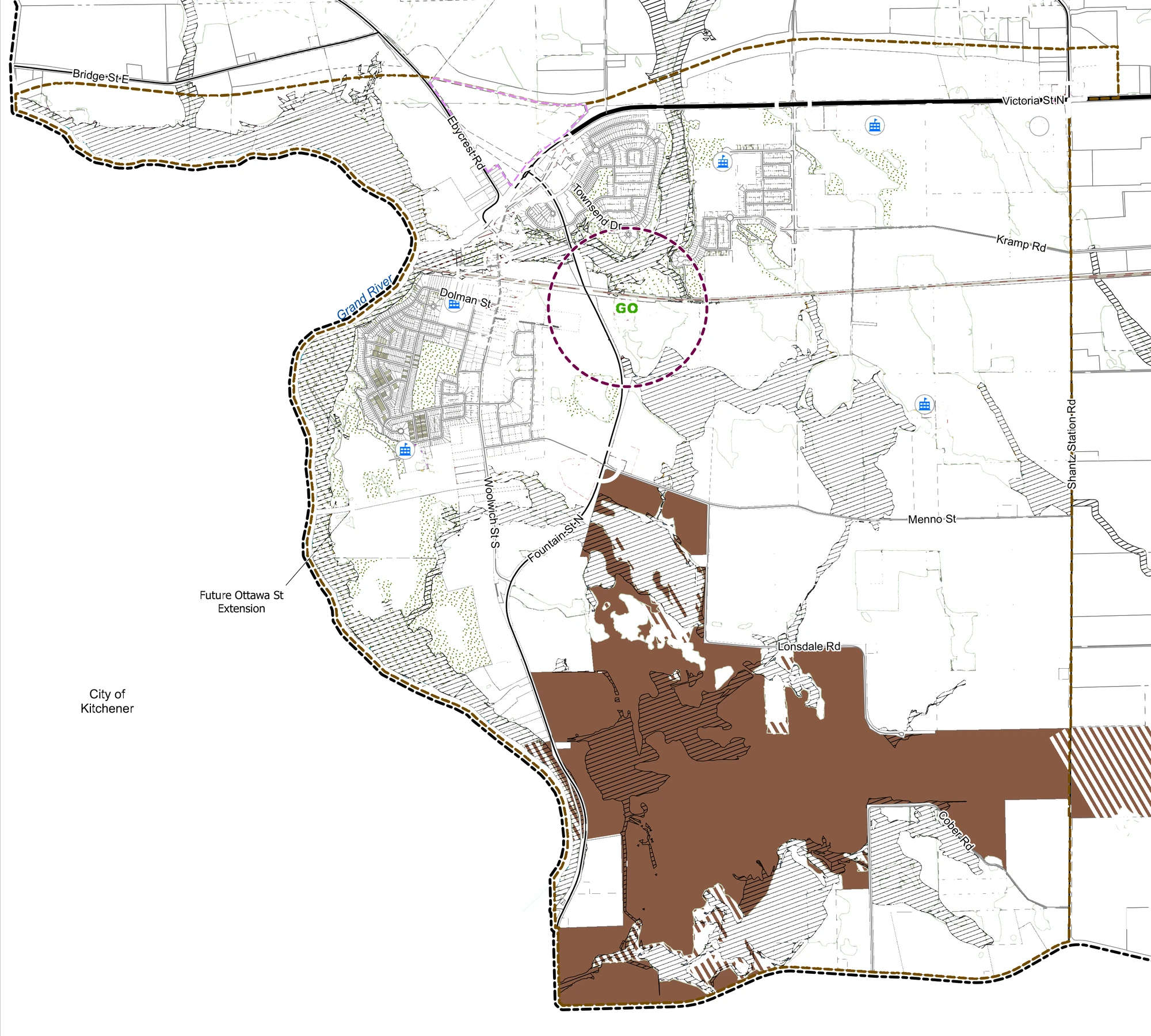




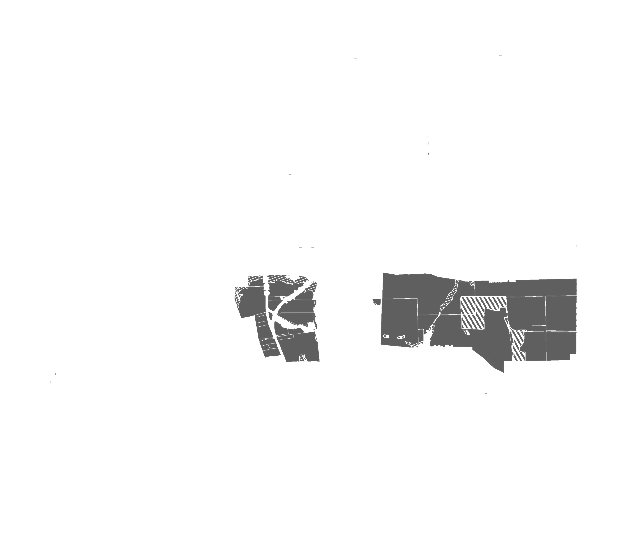
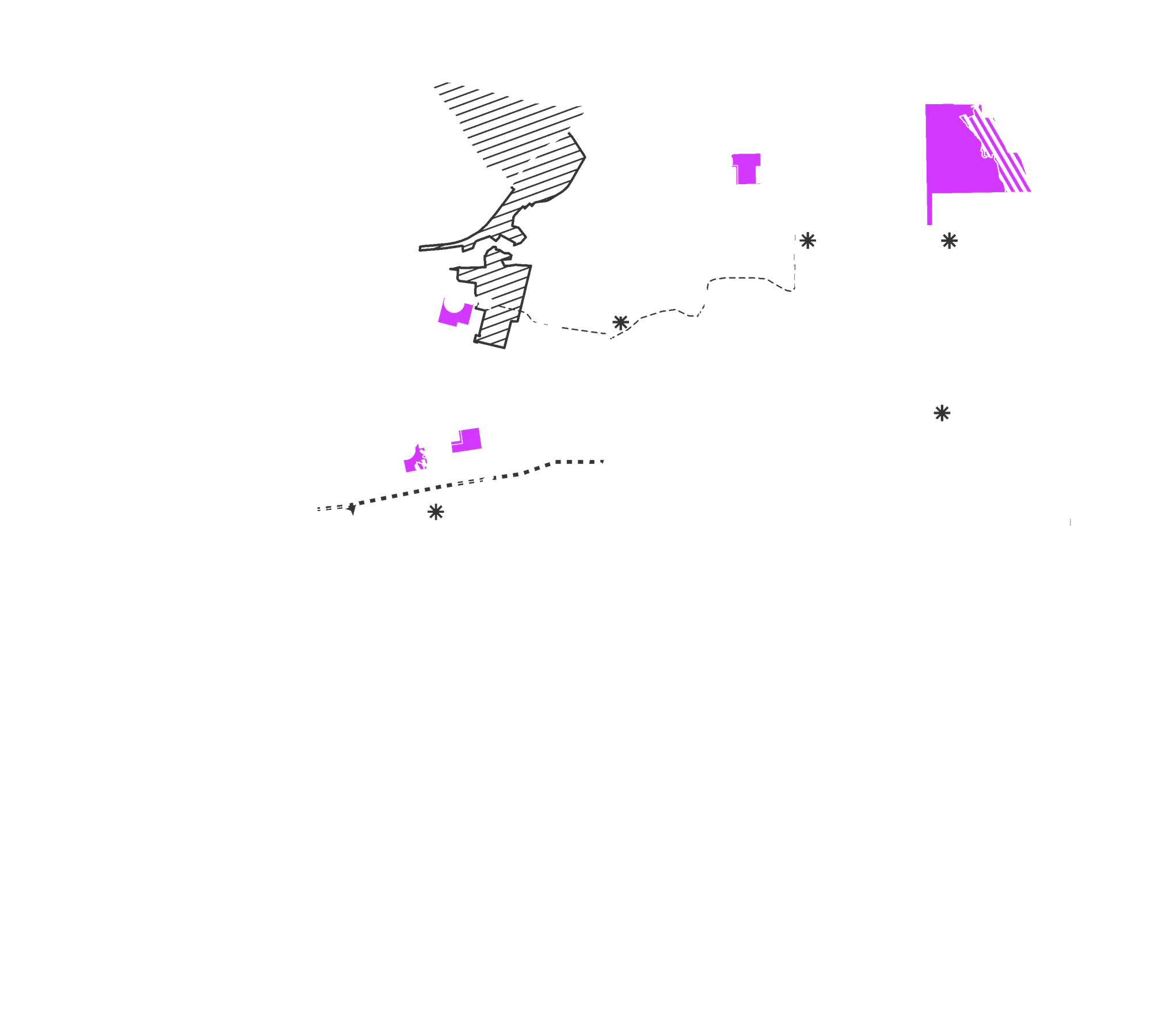

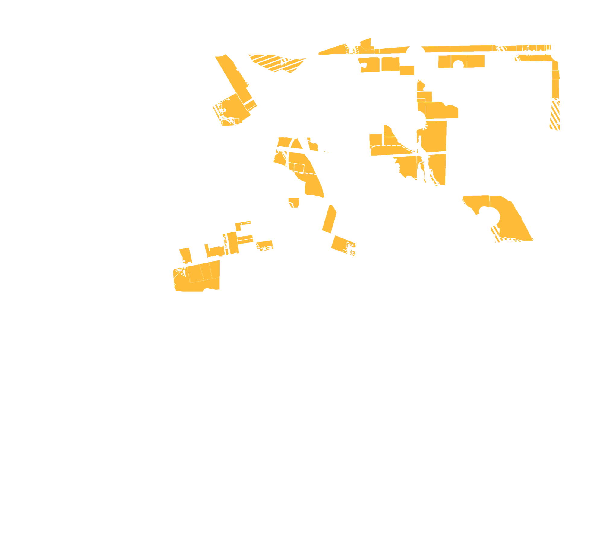

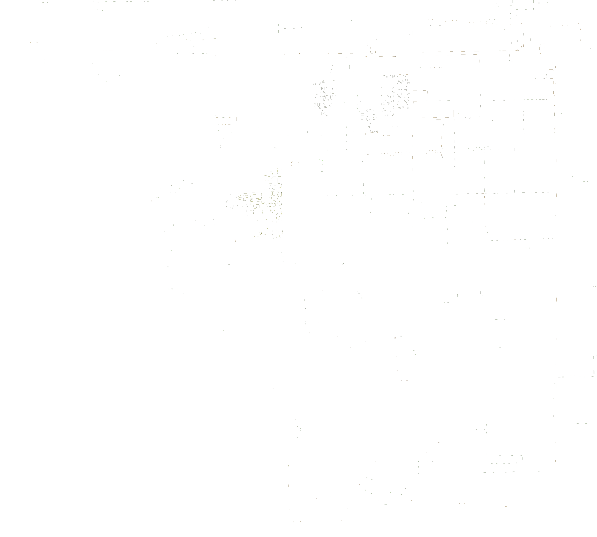



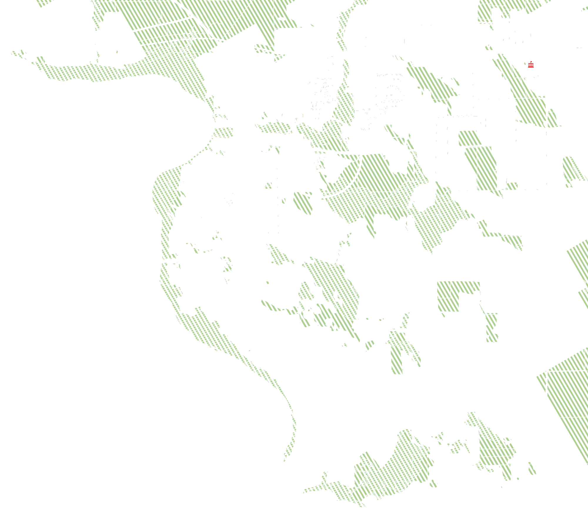
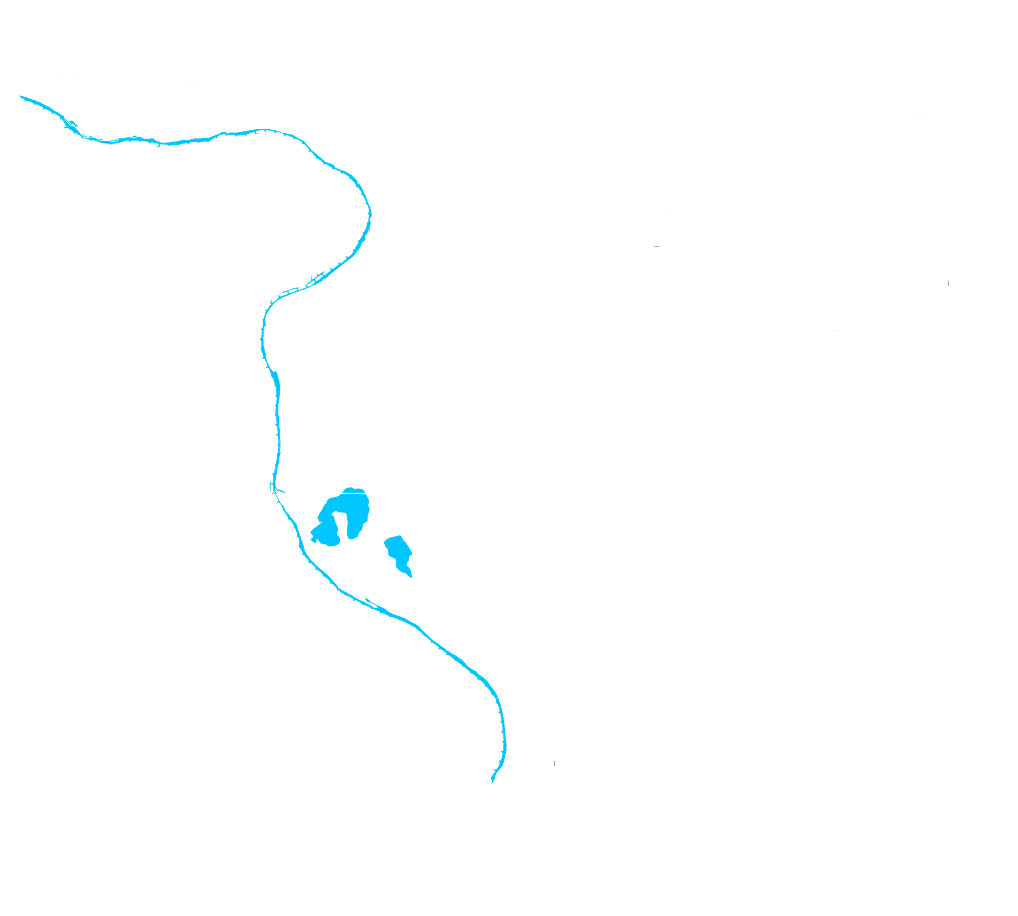
Drag to pan, scroll (or pinch) to zoom, or use the buttons above.
What do you notice?
Turn the layers on and off and look at what's planned for Breslau. Where is the commercial land? Where are future homes going? What areas are protected? And as thousands of new residents are added, where will the roads, recreation, services and everyday amenities come from?
The Official Plan is still being reviewed. If something on this map raises a question or concern, I want to hear it.
A quick guide to the map
- Core Area
- Breslau's planned downtown-style centre — the highest concentration of shops, services and community life.
- Strategic Growth Area / MTSA
- Land planned for higher-density, transit-supportive development, including the area around the Breslau GO station (an MTSA is a “Major Transit Station Area”).
- Employment Land 1 & 2 / Industrial
- Land set aside for jobs — offices, warehousing, manufacturing — rather than housing. Losing employment land to residential development is one of the tradeoffs Council has to weigh.
- Low/Med & Med/High Residential
- Housing density ranges, from single-detached neighbourhoods (Low/Med) up to townhouses and apartments (Med/High).
- Mixed Use
- Areas planned to combine housing with retail or services, rather than one or the other.
- Natural Heritage System & Natural Hazard Overlay
- Wetlands, woodlands, floodplains and similar features the Township has to plan around, not through.
- Provincially Significant Wetlands (PSW)
- Wetlands identified by the Province as ecologically important, with the strongest protection from development.
Straight from the Township's own Official Plan
This is Map 6.2 — Breslau Land Use Plan, from the Township of Woolwich's Official Plan (2025), prepared by NPG Planning Solutions Inc. and Township of Woolwich GIS, using data from the Township, the Region of Waterloo and the Province of Ontario. The land-use designations and boundaries shown here are unchanged from the Township's published map — I've simply rebuilt it, as a campaign project, into an interactive layer viewer so it's easier for residents to explore.